Ask any UP Diliman freshie and chances are, getting to class is already an adventure.
With a sprawling 493-hectare campus, unfamiliar building names and jeepney routes to figure out, finding your classroom can sometimes feel like the first test of college life.
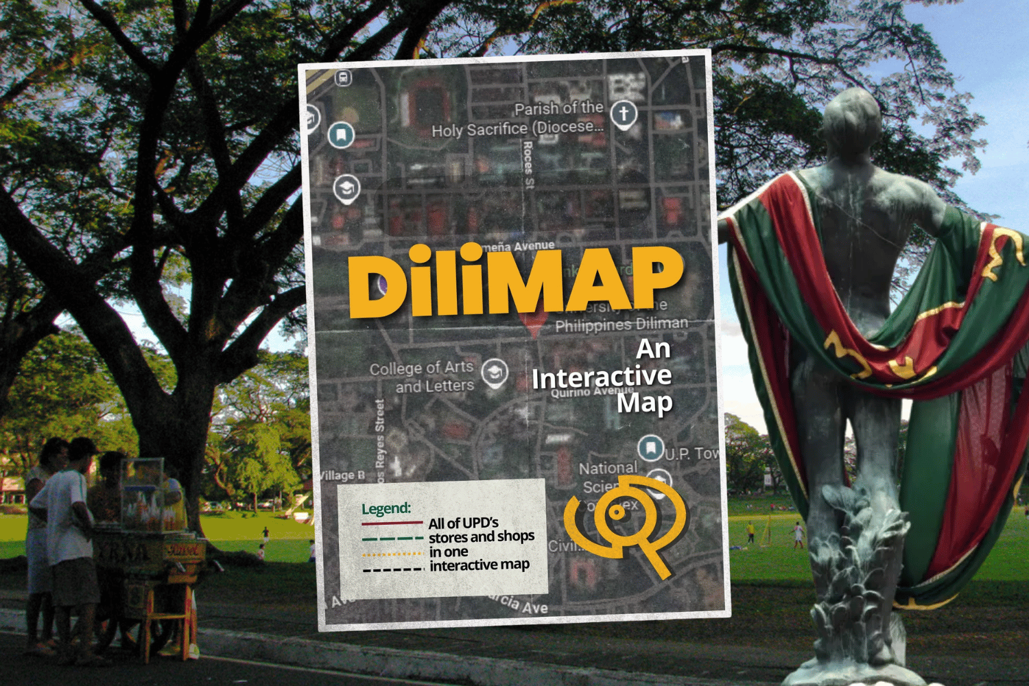
Enter DiliMAP, a student-led digital navigation platform designed to make getting around UP Diliman easier.
Think of it as a campus survival tool.
Students can use DiliMAP to locate academic buildings such as Palma Hall, Melchor Hall and Vinzons Hall—particularly useful when your next class is on the opposite side of campus and you have only minutes to get there.
It can also help students understand UP Diliman’s familiar color-coded jeepney routes, including Ikot, Toki and Katipunan, making it easier to determine which ride can bring them closer to their destination.
Beyond classrooms, the platform can help users locate libraries, student hubs, registration facilities, printing services and food destinations—including the beloved Area 2.
For incoming freshies, the map can be especially handy during those first few weeks when building acronyms and campus landmarks still sound like a language of their own.
Because in UP Diliman, passing your subjects may be the ultimate goal.
But first, you have to find the classroom.
READ: