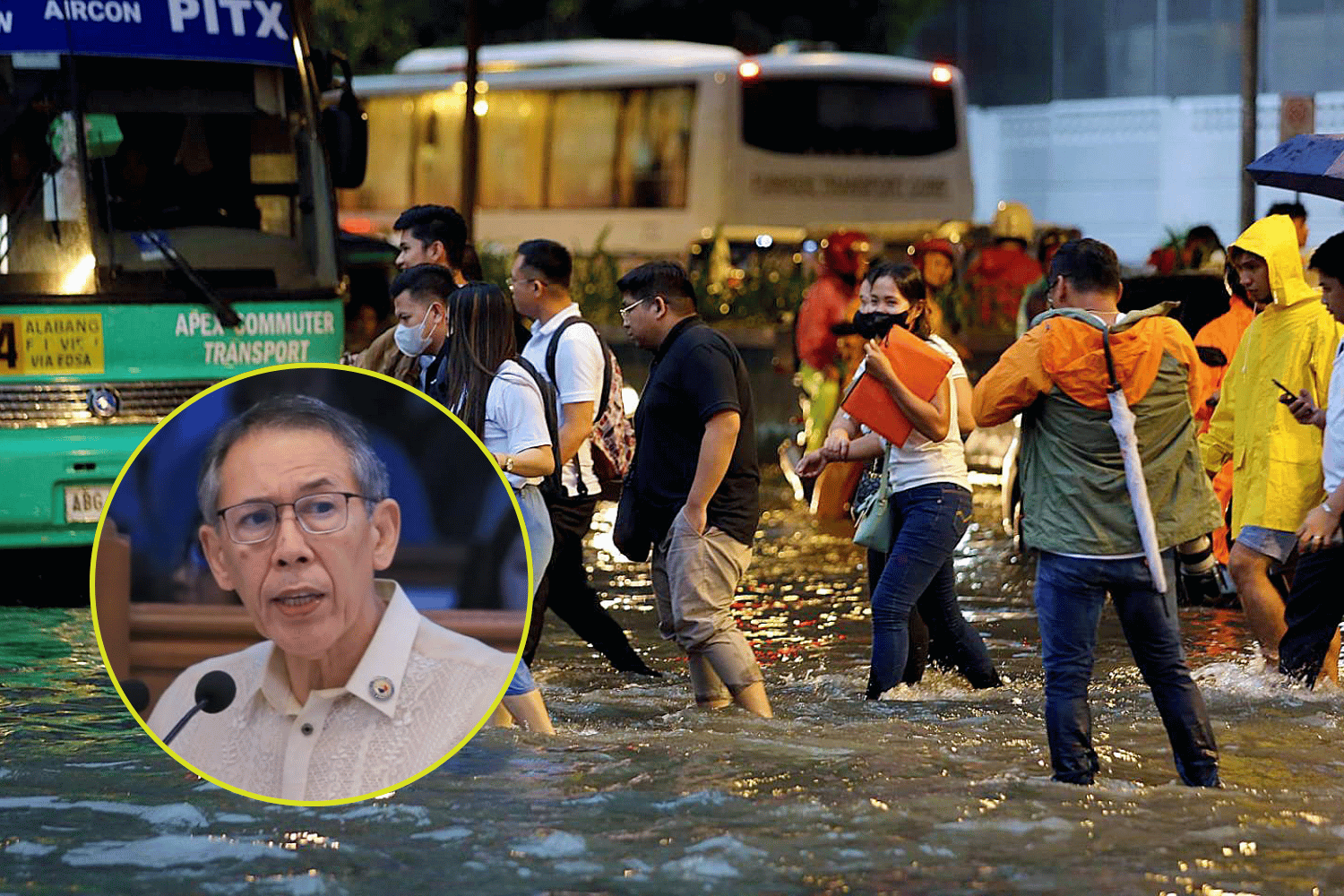
Chel Diokno’s statement can serve as a challenge to communities.
When heavy rain starts pouring, most residents watch one thing: how high the water gets.
But the rainy and typhoon season can also reveal something else—whether the flood-control projects taxpayers paid for are actually making a difference.
Lawmaker Chel Diokno recently raised the issue amid renewed flooding.
“Kapag bumuhos ang ulan, lumilitaw agad kung aling flood control ang gumagana at kung alin ang drawing lang,” Diokno said. “Pero bakit hindi pa rin nahuhuli ang malalaking isda? Kailangang ayusin ang sistema. Managot na ang dapat managot.”
So how can ordinary residents assess whether flood-control projects in their communities are working?
Compare similar rain events
Flooding alone does not prove that a project failed. A drainage system designed for ordinary heavy rain can still be overwhelmed by an extreme weather event.
PAGASA’s color-coded rainfall warnings can provide useful context. Yellow warns of possible flooding in vulnerable areas, Orange indicates that flooding is threatening, while Red signals serious flooding.
So instead of simply asking, “Binaha ba?” compare what happened during storms of roughly similar intensity.
If similar rainfall previously produced knee-deep flooding but now results in significantly shallower water, that may indicate improvement. If the depth, extent and duration remain largely unchanged after a major project was completed, residents have reason to ask questions.
Check how fast the water disappears
Flood control does not necessarily mean keeping an area completely dry.
Drainage systems, pumping stations, retention facilities and waterways are designed to manage stormwater. This means another important measure is how quickly a community recovers after heavy rainfall.
Did water that previously remained for hours disappear much sooner? Did a formerly impassable road become passable more quickly?
Persistent flooding long after rainfall has weakened, meanwhile, can warrant closer examination of the drainage network and the project supposedly protecting the area.
Use your neighborhood’s flood history
Longtime residents can provide another valuable reference.
Old photographs, videos and even watermarks on houses and buildings can show how high previous floods reached. Residents can document new storms from the same locations and compare flood depth and duration.
Instead of simply posting “Binaha na naman,” record specifics: What time did flooding begin? How deep did it become? How long before it receded? What PAGASA rainfall warning was in effect?
Over several storms, those observations can create a useful community record.
Find the project your taxes paid for
Residents can also check government records to determine what flood-control projects were actually built in their communities.
The DPWH Transparency Portal currently contains searchable records covering hundreds of thousands of infrastructure contracts from 2016 to 2026. Users can search by project, location or contractor and see information including project cost, implementing office, status and completion date.
Once you find a project, don’t stop at its multimillion-peso price tag.
Ask: What exactly was built? When was it completed? Who built it? And has flooding noticeably improved since then?
Check your area’s natural flood risk
HazardHunterPH, a government-developed platform under GeoRisk Philippines, can also help residents understand their community’s underlying vulnerability.
Its hazard assessments use information from mandated government agencies, with flood susceptibility data coming from the Mines and Geosciences Bureau.
But HazardHunterPH itself cautions that its maps are scenario-based references rather than absolute predictions. They should be considered together with real-time information and actual conditions on the ground.
That distinction matters because even good infrastructure cannot erase geography.
A naturally low-lying community or an area beside a river may remain vulnerable despite flood-mitigation projects. A more useful question is whether those projects reduced the depth, extent, duration or impact of flooding they were designed to address.
Document, compare, report
Residents don’t need to be engineers to produce useful evidence.
During storms, safely record the date and time, PAGASA warning level, approximate flood depth and how long the water takes to recede. Take photos or videos from the same safe location during different rain events.
Never enter floodwaters or approach raging rivers, culverts and drainage outlets simply to gather evidence.
Then compare your observations with previous floods and the government’s own project records.
Because Diokno’s statement can also serve as a challenge to communities.
When the rains come, don’t just ask whether your street flooded.
Ask how badly it flooded, how quickly the water disappeared, what the government promised to build—and whether life in your community actually became better.
READ:

WARNING: Beware of snakes during floods and typhoons
Top Dagohoy
August 9, 2026
Quezon City expands flood fight with three massive detention basins
Top Dagohoy
July 25, 2026
OPINION: When the flood rises, pets need an evacuation plan, too
John Lloyd Aleta
August 9, 2026