UP NOAH, Dr. Mahar Lagmay expand flood hazard mapping with BAHAR.
Flood risks may soon become easier to “see” and understand, as scientists develop a tool that lets people visualize how deep water could rise right where they stand.
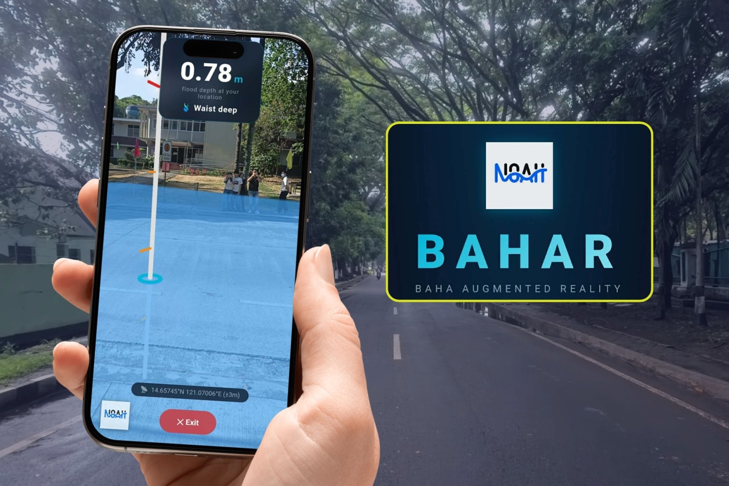
Researchers from the University of the Philippines’ Project NOAH are working on Baha Augmented Reality (BAHAR), a smartphone-based system that overlays 3D visualizations of projected flood levels onto real-world surroundings.
Instead of relying on technical maps, users can point their phones at a street or neighborhood and view possible flood depths based on existing hazard data. The tool is currently under development by the NOAH Flood Modeling Team with support from the university’s research office.
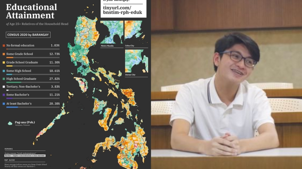
The initiative builds on years of flood mapping led by Dr. Mahar Lagmay, whose team has been producing detailed hazard maps used by local governments and disaster agencies.
From 2D maps to 3D reality
The tool, supported by the UP research office, aims to replace technical jargon with visual intuition.
Instead of looking at a blue dot on a digital map, a user can stand in their living room, point their phone at the wall, and see a digital “waterline” indicating a 1.5-meter flood risk.
The app pulls from the extensive high-resolution hazard data compiled by Dr. Mahar Lagmay’s team, ensuring that the visuals are backed by rigorous flood modeling.
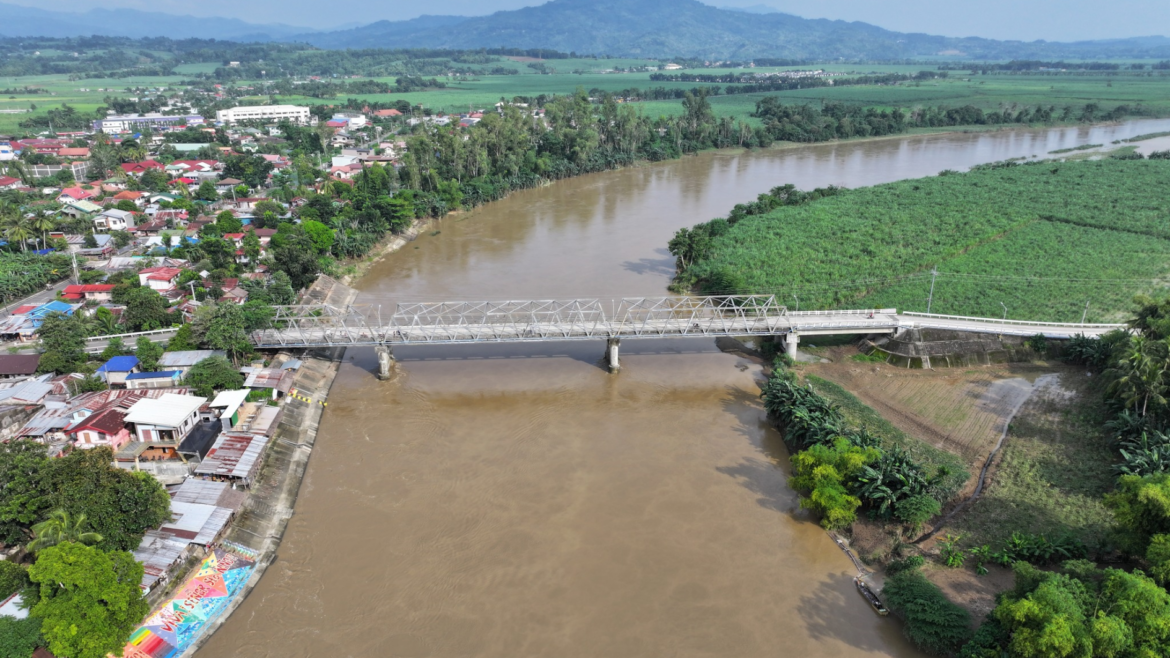
In a country hit by around 20 typhoons each year, flooding remains one of the most common and damaging disasters. Many communities, especially in low-lying urban areas, still rely on warnings that can be difficult to interpret in real time.
By turning data into something visible and immediate, the project aims to make flood risks easier to comprehend for everyday users.