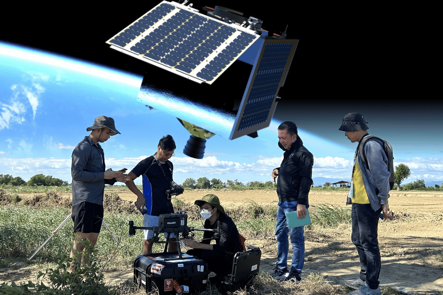
The Department of Agriculture is looking to tap satellite technology to improve crop monitoring, disaster response, fisheries, and food production
Space technology may soon play a bigger role in Philippine agriculture, with the Department of Agriculture (DA) looking to tap satellite data from the Philippine Space Agency (PhilSA) to improve food production, disaster response, and farm management.
PhilSA’s DigitalAgri Project tracks farm-to-market roads and local crop production using advanced monitoring technology that visualizes crop conditions, droughts, floods, soil moisture, pests, and plant diseases.
This technology gives authorities more accurate information to help anticipate risks and respond before losses worsen.
Satellite imagery can also identify where floodwaters naturally accumulate, allowing excess rainwater to be captured and stored for irrigation rather than draining into rivers and the sea, helping conserve water resources and boost local food production.
This comes as the DA eyes expanding satellite monitoring to vegetables such as carrots and cabbages to help anticipate oversupply and stabilize farmgate prices.
In fisheries, satellite-based data can map productive fishing grounds while providing information on wind conditions and ocean currents, giving municipal fishers better guidance before heading out to sea.
Satellite imagery could likewise support parametric crop insurance by using flood, drought, and crop health indicators to speed up damage assessments and insurance payouts for affected farmers and fisherfolk, PhilSA said.
The technology may also be used to monitor water quality in Laguna de Bay, where authorities are exploring whether space-based imagery can help detect pollution linked to recurring fish kills.
The DA said precision agriculture, through plans to pair satellite intelligence with field validation, can make farming and fisheries more productive, climate-resilient, and data-driven.
READ: